|
 
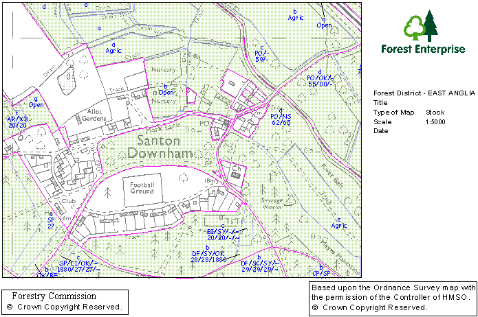
Thetford Forest has been captured on a geographical information system, explains planning forester Richard Brooke, who is based in the district office in Santon Downham. The GIS system now allows the maps of the area to be tied in to databases that hold all the information - time of planting, planned harvesting dates and so on. Staff can click on a part of the forest and call up all the relevant information. "It needs to be kept up to date, so that we can tell where timber has been felled for instance," says Mr Brooke. It has been a time consuming and painstaking process creating and verifying the system and involved bringing together many sources of information. The maps can be viewed at any scale, and the level of detail can be varied, so that people can chose to view where power lines are, or fire breaks or blocks due for harvesting next year and so on. The system also plays an important part in the records needed for the accreditation under the UK Woodland Assurance Scheme - Forest Enterprise has to be able to demonstrate that the timber supply is sustainable.
|
|
|
|
|
|
|
|
|
|
|
|
|
|
|
|
|
|
|
Copyright 2016 TJKSoftware,Icehouse Media, ~ designed & maintained by
TJKSoftware

